- Ελληνικά
- English
Languages:
This site is created using Wikimapia data. Wikimapia is an open-content collaborative map project contributed by volunteers around the world. It contains information about 32860779 places and counting.
Learn more about Wikimapia and cityguides.
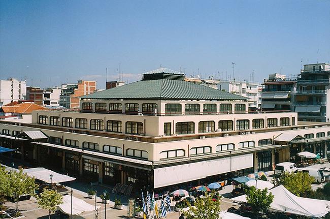
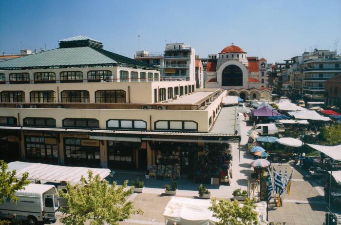
Karditsa
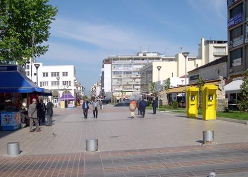
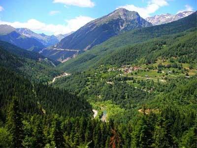
Karditsa, the capital of the homonym prefecture lies in the west end of the Thessalic plain. It is built next to a tributary of Pinios, 10 km from the foothills of Pindos and in a 110 m height.
Karditsa city was founded at the beginnings of the 17th century, during the Turkish rule period. Until then, Karditsa was just a small unknown thessalic village. It is said that it was built by Turkish who couldn’t stand Agrafiotes and rich Greeks. The privileged geographic location, on the crossroad of Volos – Trikala – Ioannina, made it an important commercial center.
In 1821, many people died of a tremendous type of fever and the village was desolated. It flourished once again after the 1881 War of Independence and became a municipality in 1882.
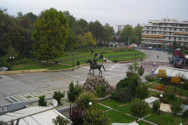
2/9/1943 is a landmark date in the town’s history. It was then that Karditsa became the first European city liberated from German conquerors.
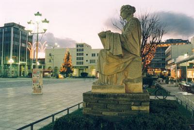
It is worth mentioning that Georgios Karaiskakis and Nikolaos Plastiras were from Karditsa. In a very central part of the city are put the bust Karaiskakis and the statue of Plastiras.
Wikipedia article: http://en.wikipedia.org/wiki/Karditsa
Karditsa, the capital of the homonym prefecture lies in the west end of the Thessalic plain. It is built next to a tributary of Pinios, 10 km from the foothills of Pindos and in a 110 m height.
Karditsa city was founded at the beginnings of the 17th century, during the Turkish rule period. Until then, Karditsa was just a small unknown thessalic village. It is said that it was built by Turkish who couldn’t stand Agrafiotes and rich Greeks. The privileged geographic location, on the crossroad of Volos – Trikala – Ioannina, made it an important commercial center.
In 1821, many people died of a tremendous type of fever and the village was desolated. It flourished once again after the 1881 War...
 Reduce description
Karditsa on the map.